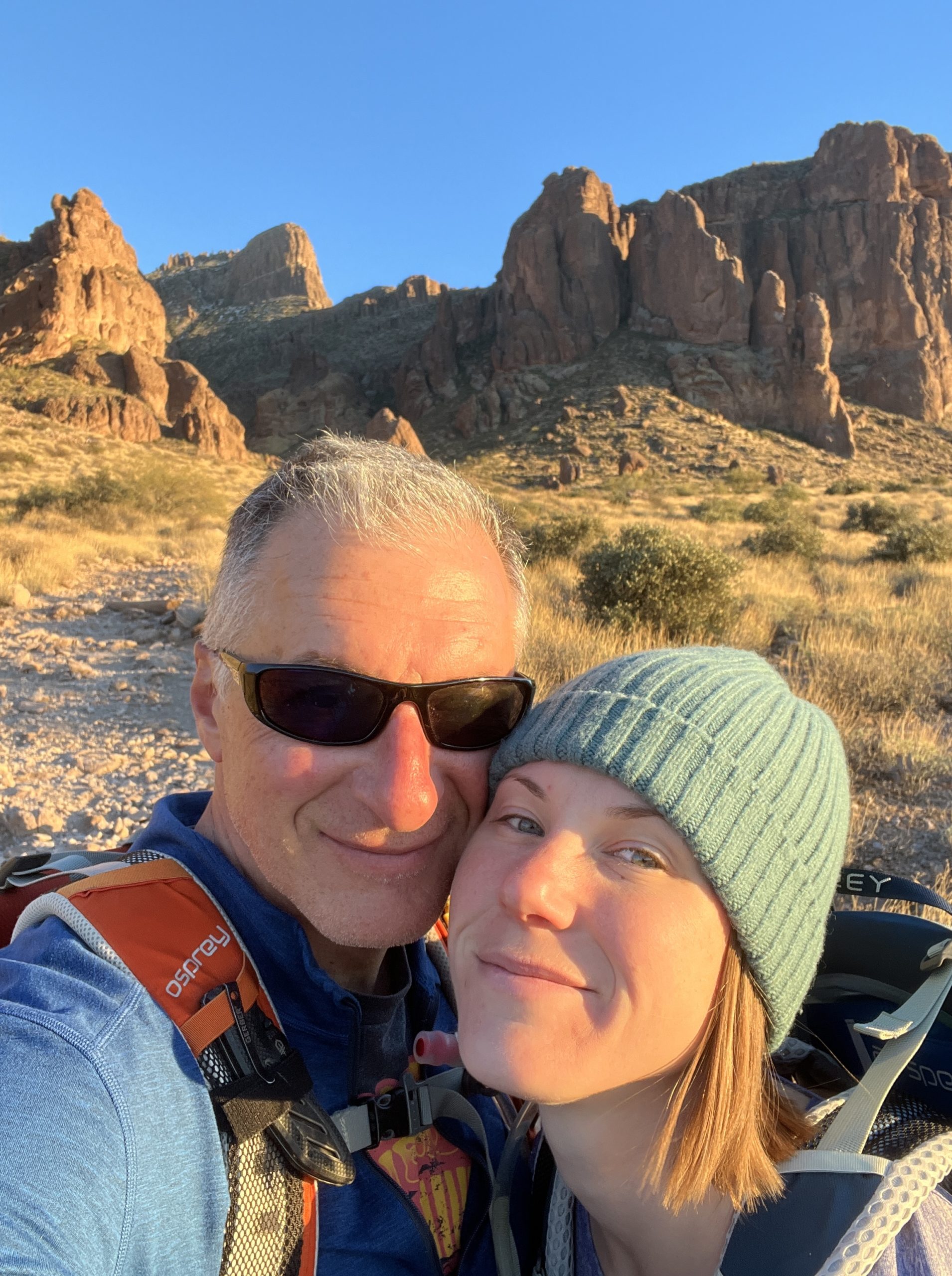
Hiking The Flatiron
January 2024The Specs
Elevation Gain: 2400 ft
Total Mileage: 4.8 mi
Hiking Time: 5.5 hours
Rating: Very Difficult
Where and What is The Flatiron?
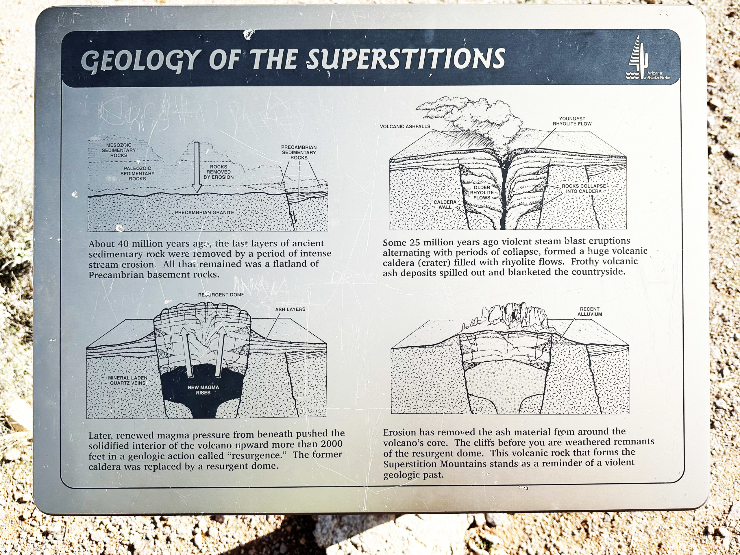
The Flatiron is a peak in the Superstition Mountains of Arizona. They are all remnants of an ancient volcanic core that was pushed up out of the earth and then eroded into these fantastic shapes.
The "Trail" to The Flatiron
Siphon Draw Trail starts in Lost Dutchman State Park and goes to the top of The Flatiron.
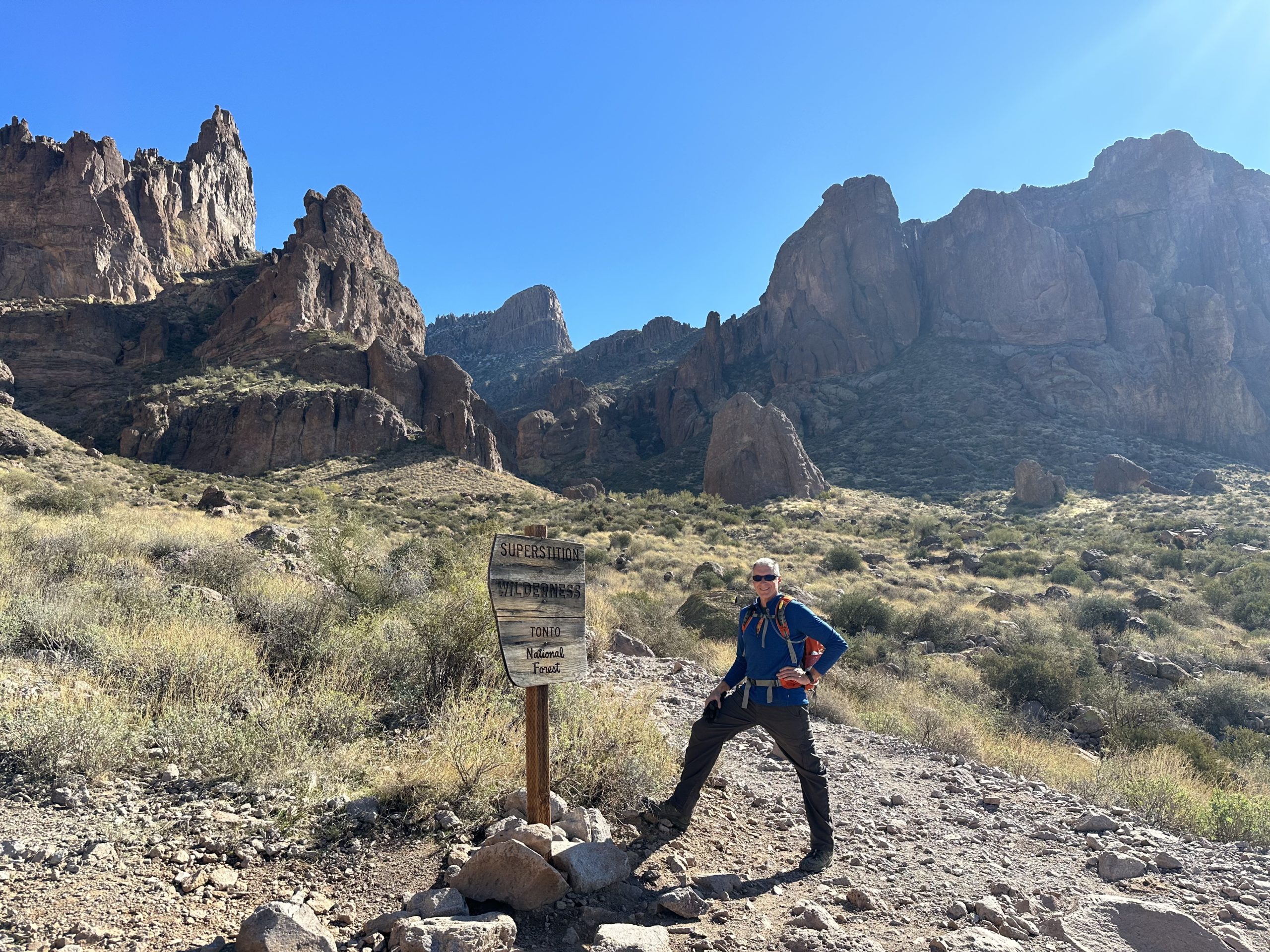
It’s a short walk from the park to where the Wilderness area begins, and that’s where things start to get interesting.
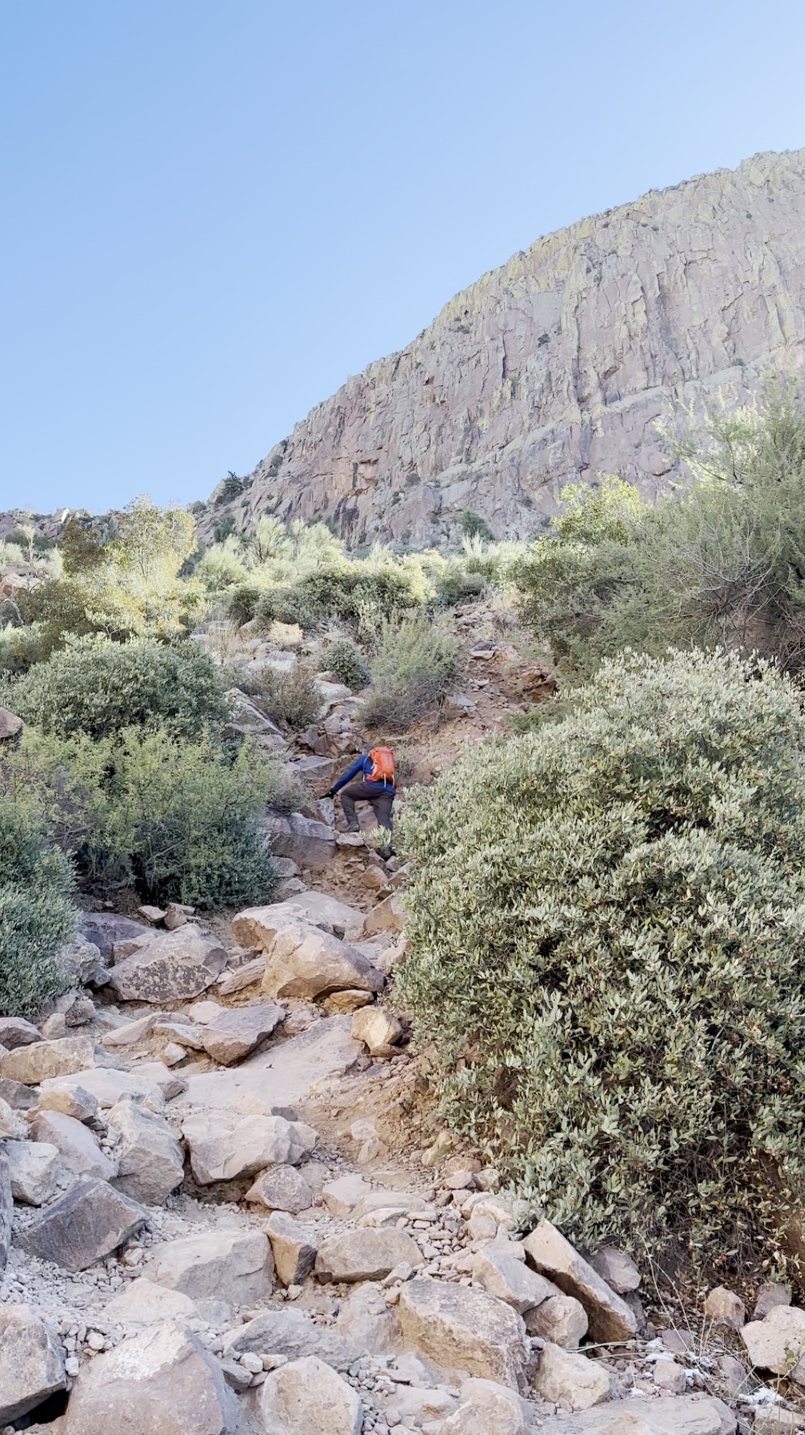
There is no designated trail after that point. Read: no signage, no maintenance, no installed handholds, cables, or other safety measures.
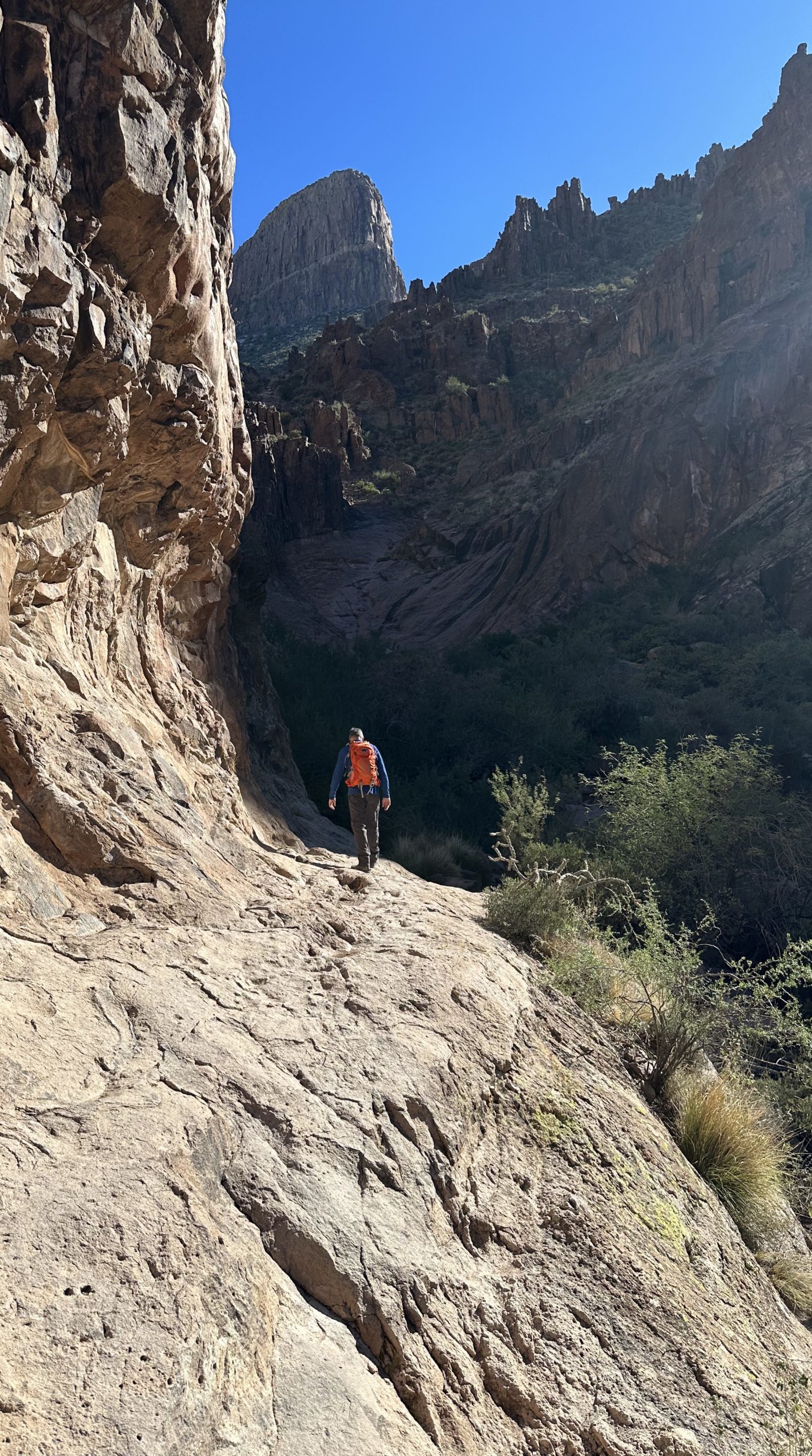
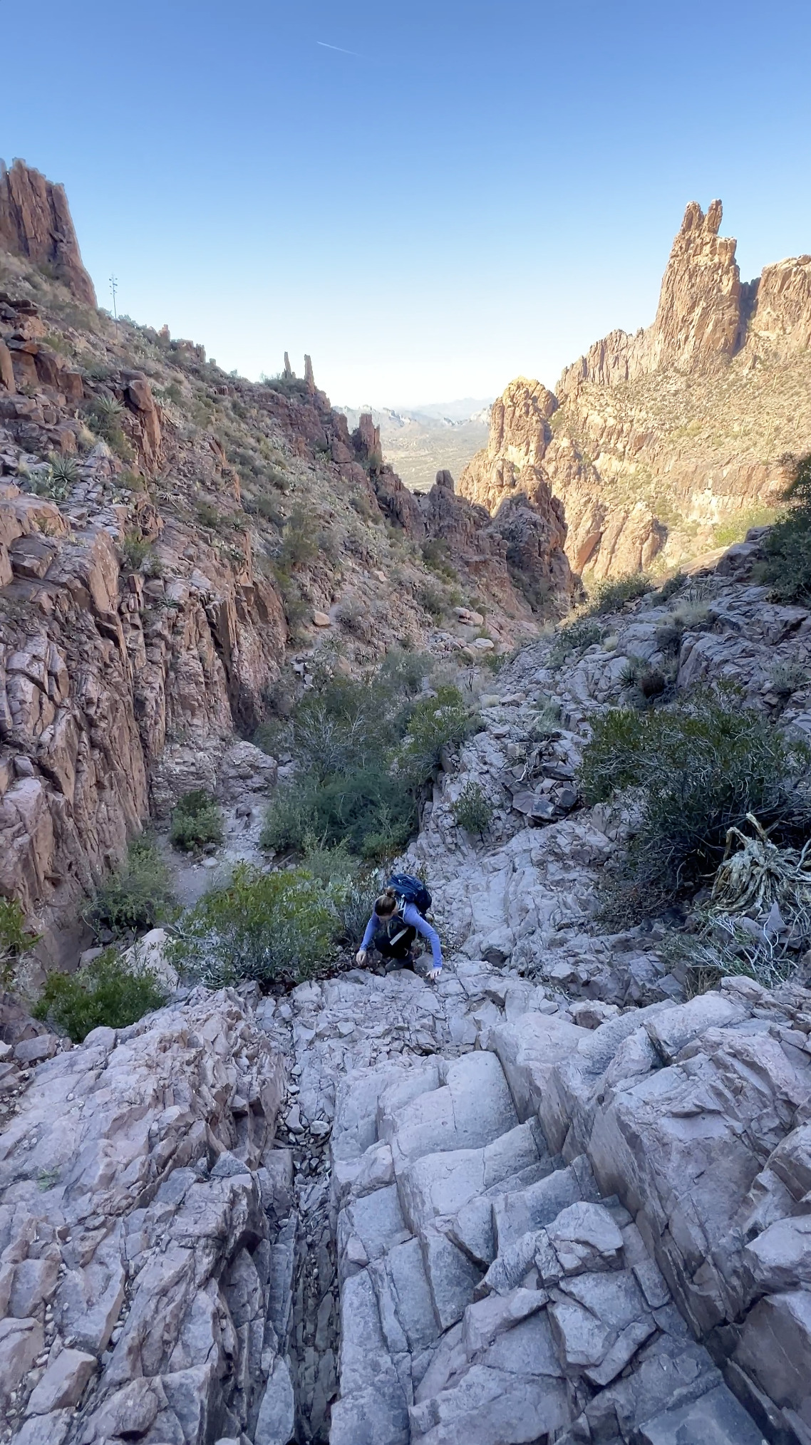
You sort of follow a rocky wash, areas that have obviously seen a lot of foot traffic, and footprints in the sand (and snow in our case) from others—but it’s a gamble. Those footprints could have been left by trail veterans or, just as easily, by hikers as unfamiliar with the route as we were.
It’s easy to get off “the path”, which we did a couple of times. Fortunately, we were able to find our way back without any catastrophes.
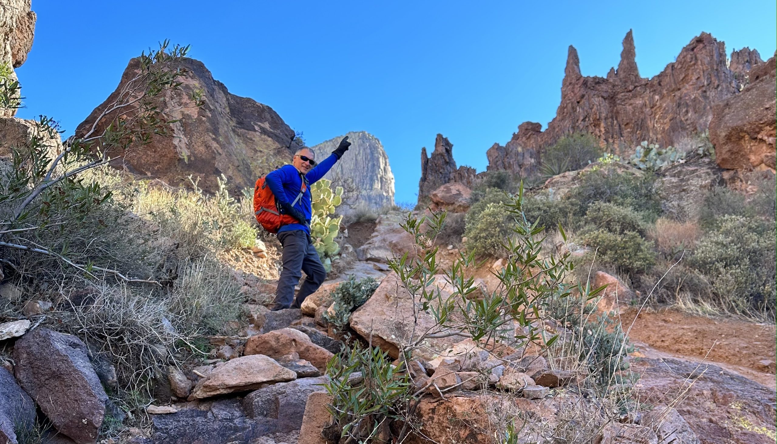
As my GPS indicated that we were getting closer to the top, The Flatiron was still hundreds of feet above our heads.
How the heck were we going to get up there?
Lots…
…and lots…
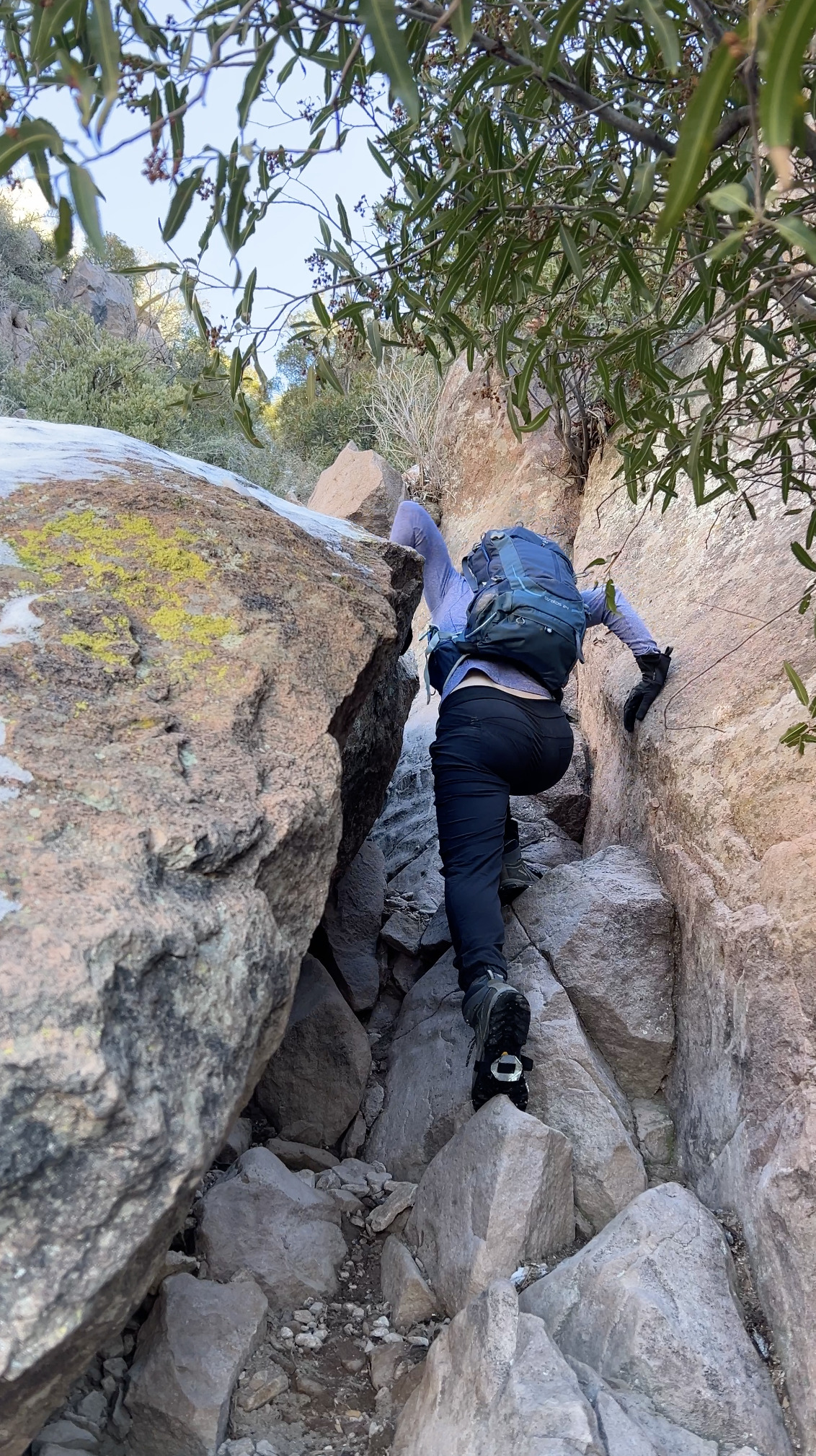
…of rock scrambling.
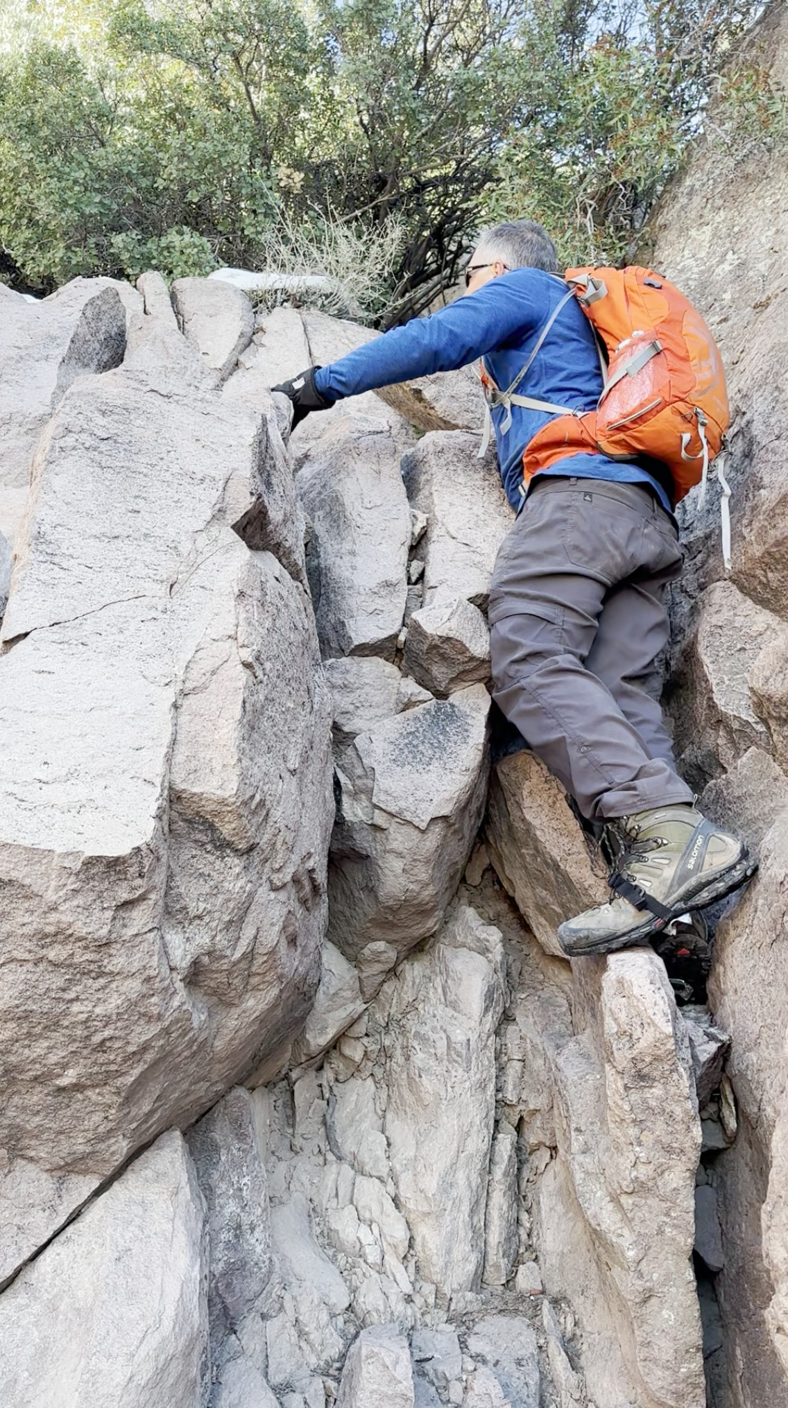
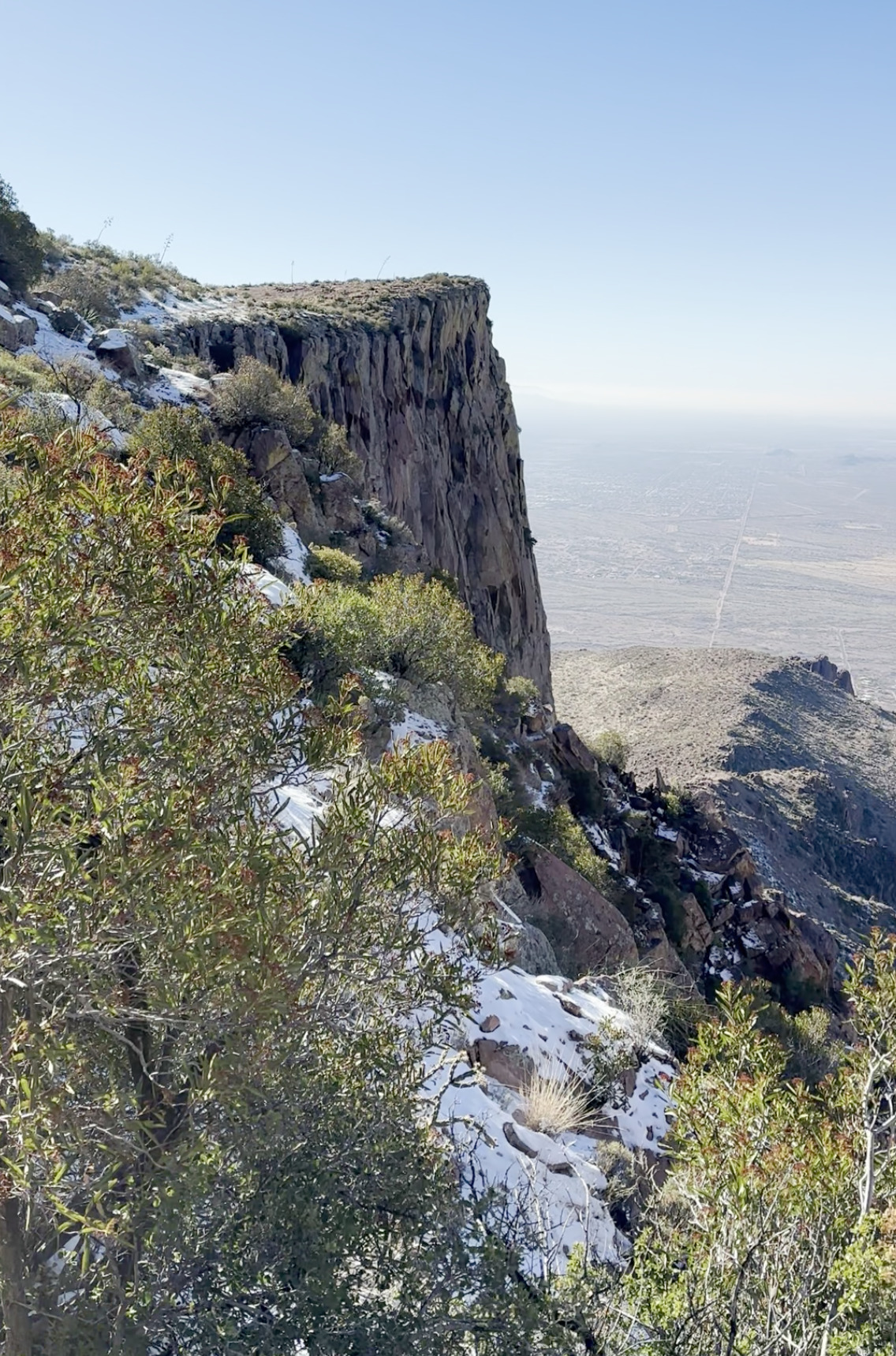
There She Is
After three hours of hiking and climbing, we’d made it to the top.
We had about 15 minutes to absorb the view, try to spot our camper down below, dangle our legs off the side, and have a picnic.
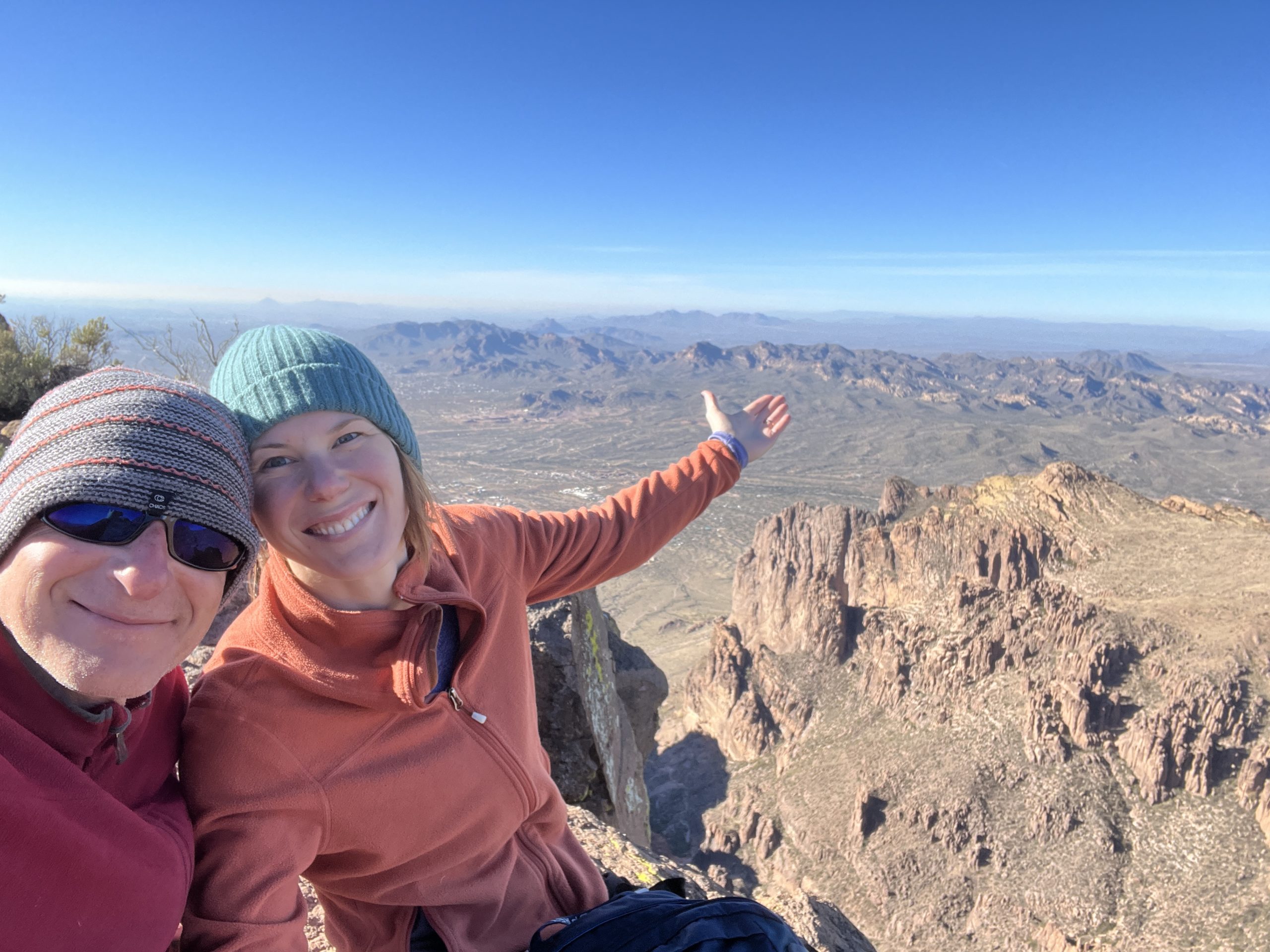
Then it was time to descend to relieve our pups so patiently waiting for us in the trailer.
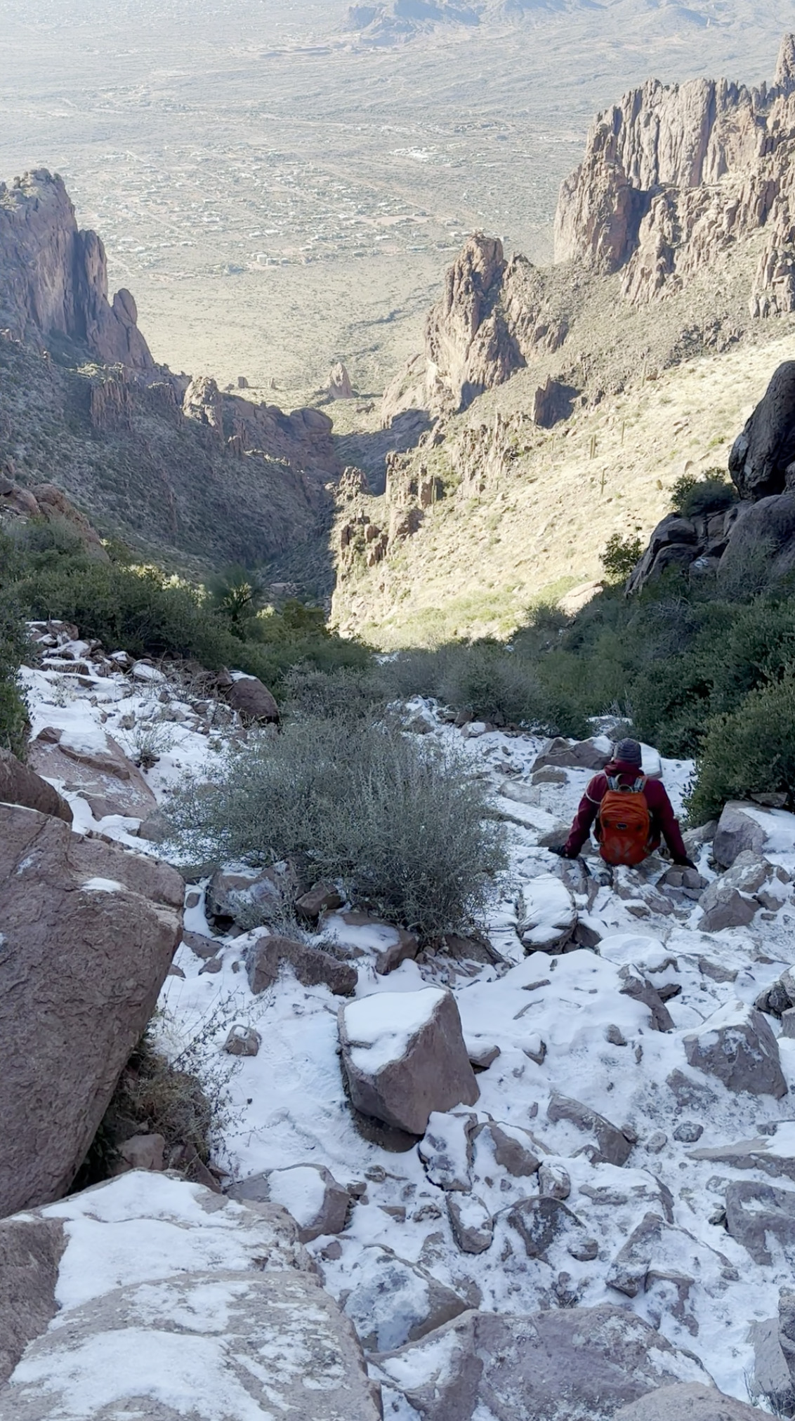
Descent a.k.a. Tricep Workout
Hike Complete
We made it down in 2.5 hours.
Legs were rubber. Two hot showers and naproxin were in order.
